As-Built Documentation & Laser Scanning Delivered in Days
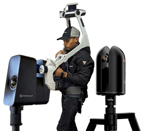
SCENA® uses NavVis VLX 3 LiDAR scanners and Matterport Pro 3 cameras, capturing up to 10x more ground than traditional laser scanners and delivering verified point clouds, as-built floor plans, Revit models, and immersive digital twins to your team in approximately 5 business days. 14 field offices. One call.
Solutions
Our Core Solutions
From as-built documentation to digital twins and drone video. Complete reality capture from one team.
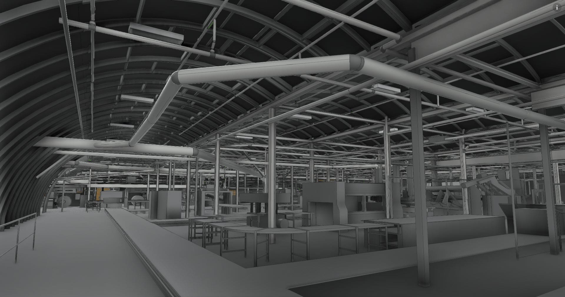
Reality Capture for As-Built Documentation
Verified point clouds, CAD floor plans, and Revit-ready files, delivered in approximately 5 business days. NavVis VLX 3 scanners capture up to 10x more ground than traditional laser scanners, giving you engineer-ready deliverables faster than any other method.
Learn More About As-Built Services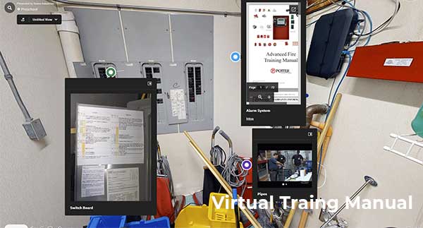
Matterport Digital Twins & Virtual Tours
Let clients, investors, and prospects explore your property from anywhere with immersive Matterport 3D tours. Perfect for marketing, leasing, and facility documentation. Includes 6 months of free Matterport hosting.
Explore Digital Twin Services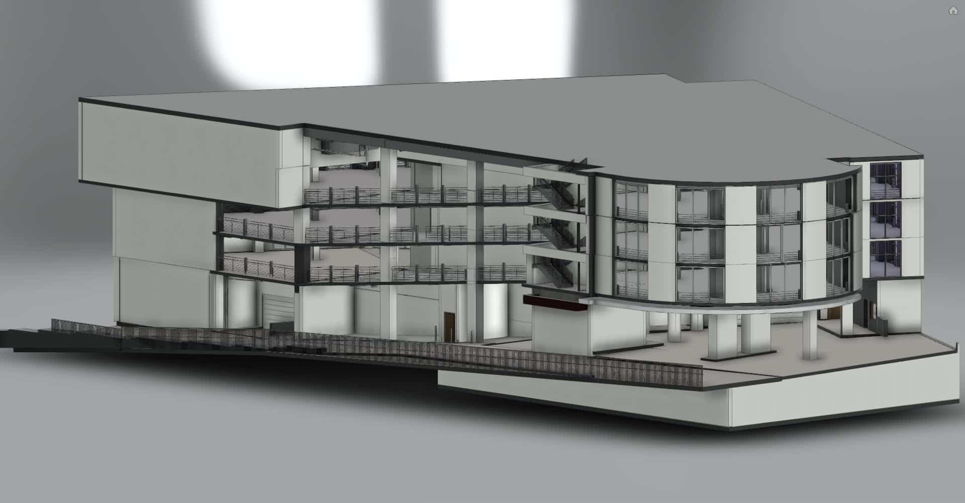
Scan to BIM & Revit Modeling
Transform your point cloud into a parametric Revit model or IFC file for seamless coordination with your design software. Extract walls, ceiling heights, MEP systems, and structural elements, accelerating your design phase.
Request Scan to BIM QuoteScan to BIM
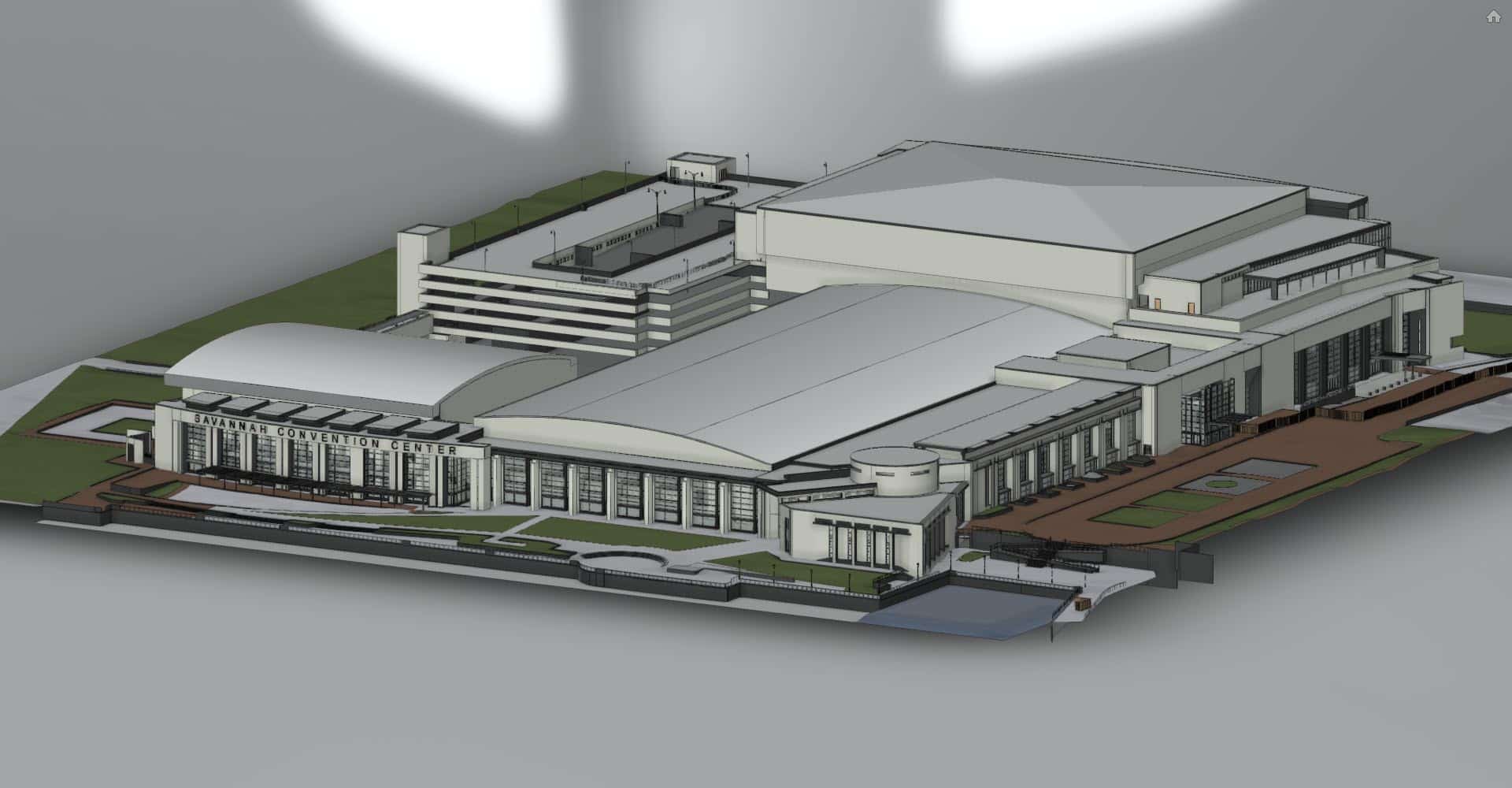
From Site Scan to Full 3D Model
SCENA delivers complete Revit and BIM models from point cloud data, fully coordinated, dimensionally accurate, and ready for your design workflow.
Featured Case Study
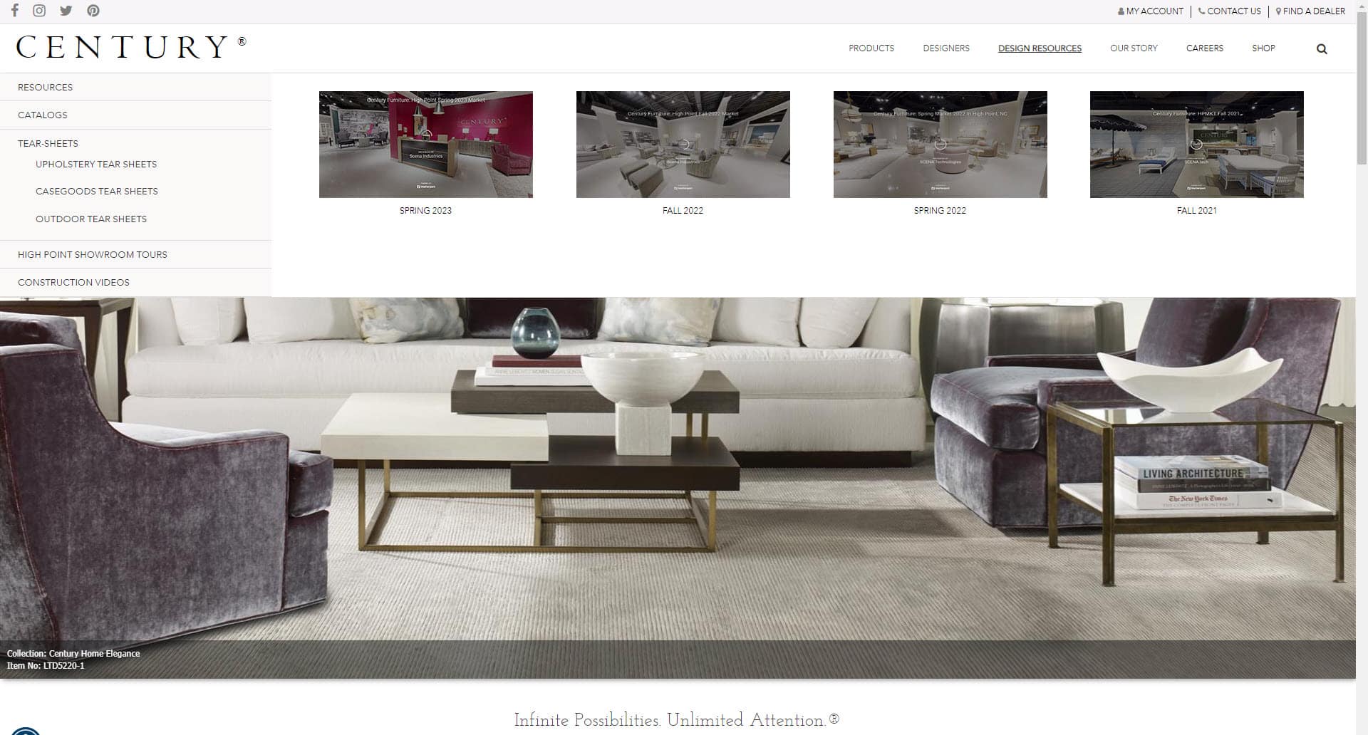
Digitally Revitalizing Luxury Furnishings for Century Furniture
Since 2018, SCENA's immersive 3D virtual tours of Century Furniture's 50,000 sq ft High Point showroom have transformed how top designers discover luxury collections, enabling remote access year-round and serving as a powerful sales tool.
50K sq ft
Showroom Size
Since 2018
Partnership
2x / Year
Market Updates
Industries
Trusted Across Every Building Type
SCENA® reality capture solutions are trusted across six key industries
Architecture & Engineering
Accelerate design phases with verified-accurate existing conditions data and registered CAD files.
For A/E FirmsConstruction
Improve project coordination, clash detection, and subcontractor accountability with precise point cloud data.
For ContractorsCommercial Real Estate
Showcase properties with immersive Matterport tours. Attract tenants and investors with 3D virtual access.
For Real EstateFacilities Management
Maintain a master digital record for space management, maintenance planning, and emergency response.
For Facilities TeamsRetail & Hospitality
Create 3D digital twins for space planning, renovation design, and guest experience documentation.
For Retail & Hospitality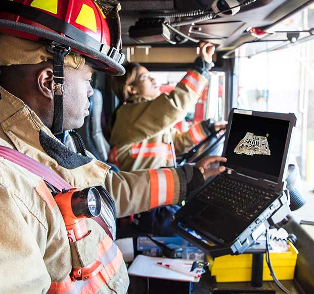
Public Safety
Securely document critical infrastructure and emergency response facilities with our SecureTwin® platform.
For Public SafetyGet Your As-Built Documentation in Days
Verified point clouds, CAD floor plans, and Revit models delivered in approximately 5 business days. 14 offices. One call. One site visit.