Existing Conditions Documentation for A/E Firms
Verified point clouds, as-built CAD drawings, and Revit models delivered in days so your design team can start working immediately. No more manual field surveys. No more outdated blueprints. No more costly revisits.
The Challenge
What Slows Down A/E Design Teams
Architecture and engineering firms face recurring obstacles when working from incomplete or inaccurate existing conditions data.
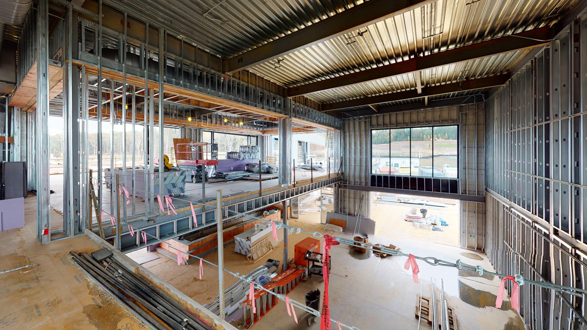
Manual Surveys Delay Your Design Start
Traditional tape-and-camera surveys take weeks, introduce measurement errors, and force your design team to wait for accurate existing conditions before schematic design can begin. Traditional tripod scanning takes 2–4 days for a mid-size commercial building. SCENA's NavVis mobile mapping captures the same space in hours with automatic registration that eliminates days of post-processing.
Inaccurate As-Builts Drive Change Orders
Designing from outdated or inaccurate floor plans leads to field conflicts, coordination clashes, and change orders that erode your project margins and damage client relationships.
Your Data Arrives in the Wrong Format
Existing conditions data that doesn't open in Revit, AutoCAD, or SketchUp means hours of manual conversion before your designers can begin. Every hour of reformatting is an hour not spent designing.
Missed Measurements Mean Costly Revisits
Missed measurements and incomplete documentation mean sending teams back to the field, adding travel costs and pushing timelines further out.
How SCENA Helps
Solutions for A/E Professionals
SCENA® provides the spatial data foundation your design team needs, delivered fast in the formats you already use.
As-Built Documentation
Survey-grade point clouds and registered CAD floor plans that capture every dimension, elevation, and structural element in a single site visit.
Learn MoreScan to BIM
Point cloud data translated into Revit models and IFC files, ready for immediate use in your BIM workflow. Delivered in Revit, IFC, or DWG formats to match your project requirements.
Learn MoreDigital Twins & Virtual Tours
Matterport 3D tours let your entire team walk the building virtually, reducing the need for repeated site visits and enabling remote design reviews.
Learn MoreUse Cases
Project Types We Support
From renovation planning to historic preservation, SCENA® reality capture supports the full range of architecture and engineering projects.
Renovation & Adaptive Reuse
Capture complete existing conditions before renovation design begins. Avoid surprises with high-accuracy documentation of every structural element, MEP system, and architectural detail.
Historic Preservation
Document historic structures with millimeter-precision point clouds that preserve every profile, molding, and ornamental detail for restoration planning.
Tenant Fit-Out Design
Deliver accurate base building documentation to design teams, accelerating tenant improvement projects with verified dimensions and utility locations.
Due Diligence & Feasibility Studies
Provide design teams and clients with comprehensive spatial data early in the project, enabling informed design decisions and accurate cost estimation.
Facility Assessment & Expansion
Document existing campus buildings to support phased expansion planning, connecting new construction to verified existing conditions data.
MEP Coordination
Capture precise locations of mechanical, electrical, and plumbing systems for renovation coordination and clash detection during design development.
In the Field
Ceiling HVAC Inspection Capture
SCENA® captures hard-to-reach MEP systems including ceiling HVAC, giving architects and engineers accurate spatial data without costly re-measurement or field guesswork.
Ready to Accelerate Your Next Design Project?
Get high-accuracy existing conditions data fast. Let SCENA® handle reality capture so your team can focus on design.