About SCENA®
Reality Capture That Moves Your Projects Forward
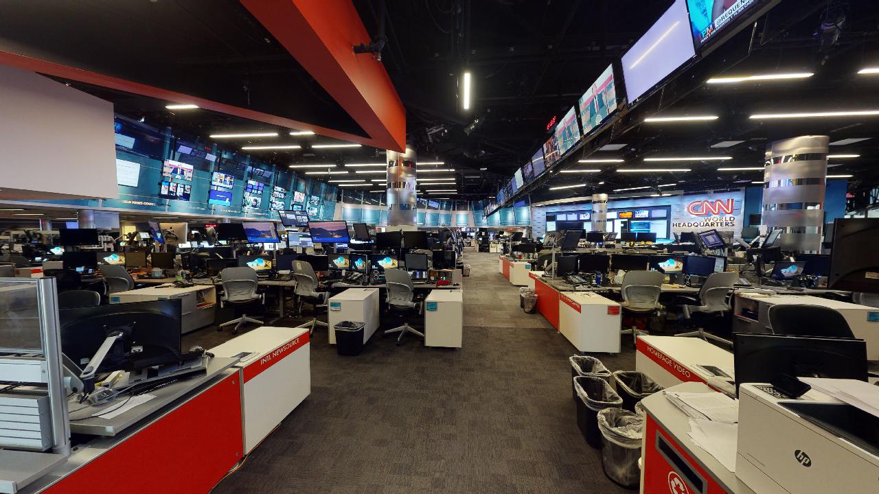
Since 2015, SCENA® has been the trusted partner for architects, engineers, contractors, and facility managers who need high-accuracy digital documentation delivered fast. With 14 offices nationwide and industry-leading technology from NavVis and Matterport, we turn physical spaces into actionable digital assets.

Since 2015
Serving AEC Professionals
14 Offices
Nationwide Coverage
Fast
Project Turnaround
Thousands
Projects Delivered
Our Mission
Empowering Better Buildings Through Digital Precision
SCENA® exists to bridge the gap between the physical built environment and the digital tools professionals rely on every day. We provide the spatial data foundation that architects, engineers, facility managers, and property owners need to make confident decisions.
We believe every renovation should start with accurate existing conditions. Every commercial facility, luxury residence, and new development should have a digital twin. And every AEC professional should have access to fast, affordable reality capture, no matter where their project is located.
That is why we built a nationwide network of trained capture associates, equipped with the most advanced mobile and static scanning technology available. Our mission is to make high-accuracy digital documentation accessible to every project, every budget, and every timeline.
Our Values
What Drives SCENA®
Four principles guide every project we take on and every relationship we build.
Precision First
Every scan, every point cloud, every deliverable is held to high-accuracy standards. We believe that accuracy is the foundation of great design and construction.
Speed Without Compromise
Speed and quality are not mutually exclusive. Streamlined workflows and experienced crews deliver most standard projects in approximately five business days.
Transparency & Trust
We are clear about what we deliver: high-accuracy documentation for planning, design coordination, and visualization. Architects, engineers, and design teams use our data to produce construction documents.
Client Partnership
We see ourselves as an extension of your team. From the initial scope call to final delivery, we are invested in your project success and long-term relationship.
Our Expertise
Full-Spectrum Reality Capture Services
From laser scanning to immersive digital twins, we offer a complete suite of reality capture and documentation services.
As-Built Documentation
Point clouds, CAD floor plans, and building measurements delivered in engineer-ready formats for renovation, retrofit, and facilities planning.
Learn more →Scan to BIM
Accurate Revit models and IFC files generated from point cloud data, ready for architects and engineers to incorporate directly into their workflows.
Learn more →Digital Twins & Virtual Tours
Immersive Matterport 3D experiences for remote collaboration, property marketing, and stakeholder engagement across every industry we serve.
Learn more →SecureTwin®
Pre-incident planning solutions for public safety agencies, giving first responders critical facility data before they arrive on scene.
Learn more →Technology Partners
Powered by Industry-Leading Technology
We invest in the best scanning and digital twin platforms so you get the most accurate, versatile deliverables on the market.
NavVis
Mobile Mapping & Point Clouds
The NavVis VLX3 is a wearable mobile mapping system that captures large-scale environments at walking speed with millimeter-level accuracy, ideal for warehouses, campuses, and multi-floor commercial buildings. The NavVis MLX is a compact handheld scanner built for tight spaces, complex interiors, and confined areas where a wearable system cannot easily reach. We deploy both systems on every project to ensure complete coverage.
Ready to Work With SCENA®?
Get in touch to discuss your next project. Our team is ready to scope, schedule, and deliver high-accuracy digital documentation anywhere in the country.