As-Built Documentation
As-Built Documentation Services: Point Clouds, CAD & Floor Plans
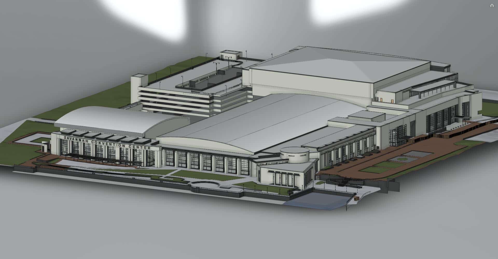
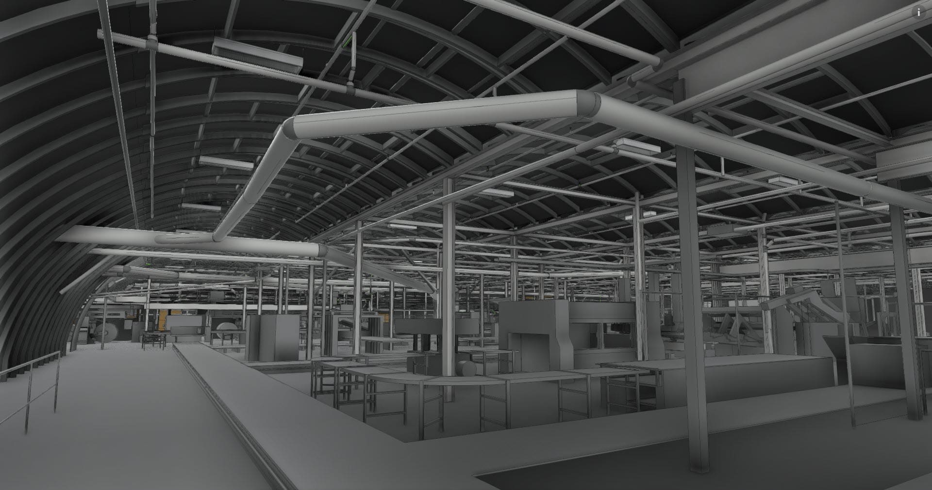
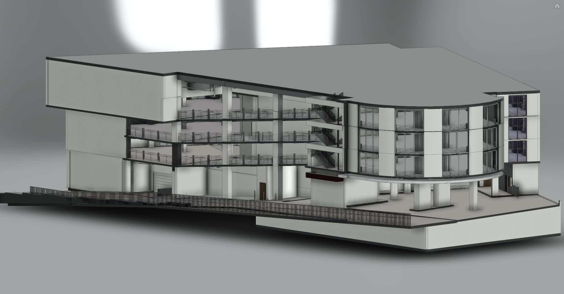
Stop designing from outdated blueprints. SCENA® captures your entire building in hours with NavVis mobile mapping technology that scans 10x faster than traditional tripod lasers. Registered point clouds, AutoCAD floor plans, and dimensioned drawings delivered in approximately 5 business days.
Software & Technology Partners
Technology
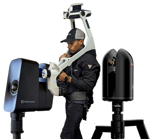
Scan 10x Faster Than Traditional Laser Scanning
Most scanning companies reposition a tripod laser dozens of times per floor. SCENA's field associates walk your building once, capturing survey-grade point cloud data continuously, covering an entire floor in hours, not days.
- NavVis VLX3: wearable mobile mapper for large floors and open environments
- NavVis MLX: compact handheld scanner for tight spaces, corridors, and ceilings
- Matterport Pro3: photorealistic 3D capture with embedded virtual tours
- Automatic SLAM registration, no manual alignment needed
- Indoor and outdoor capture in a single mobilization
Ready to Eliminate Guesswork from Your Next Project?
Most buildings scanned in a single day. Request a quote and we'll scope your project within one business day.